
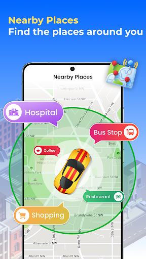
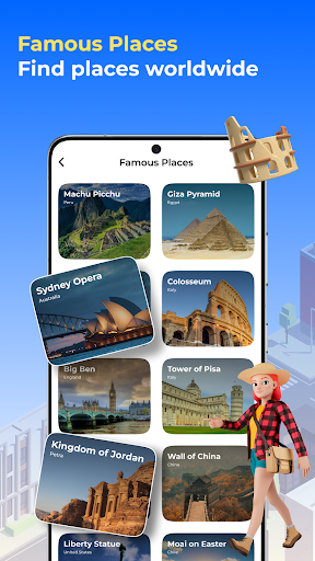
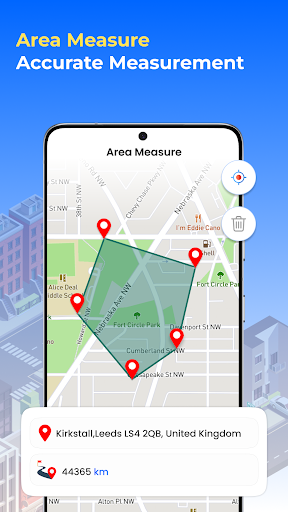
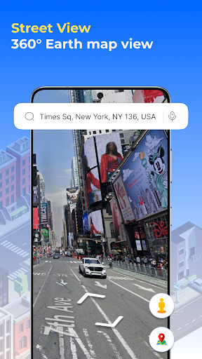
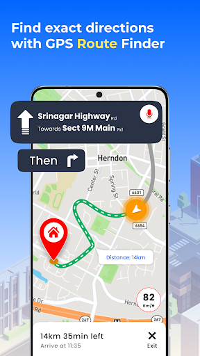
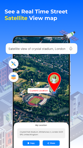
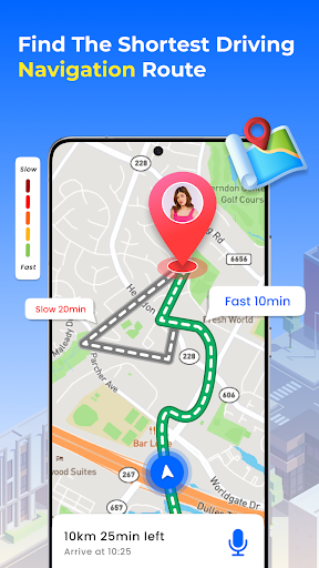
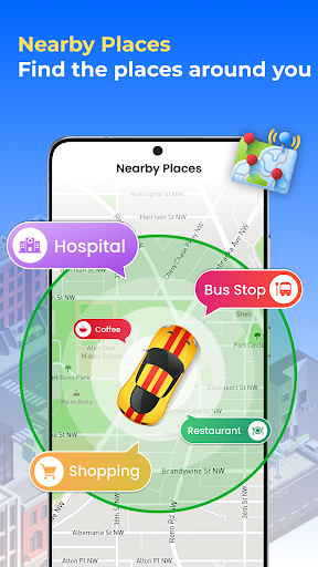
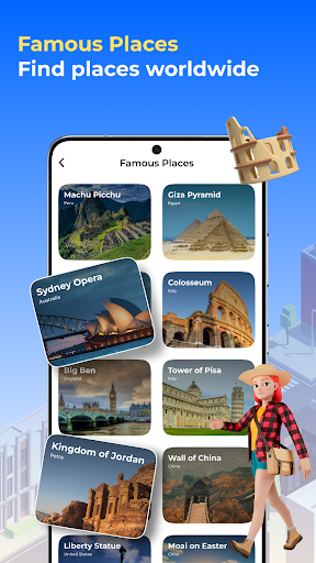
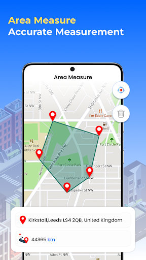
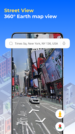
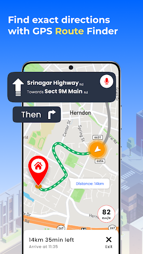
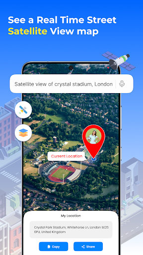
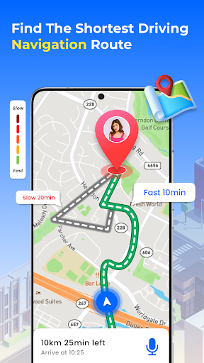
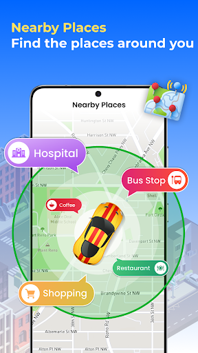
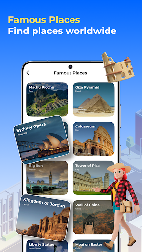
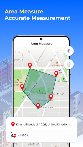
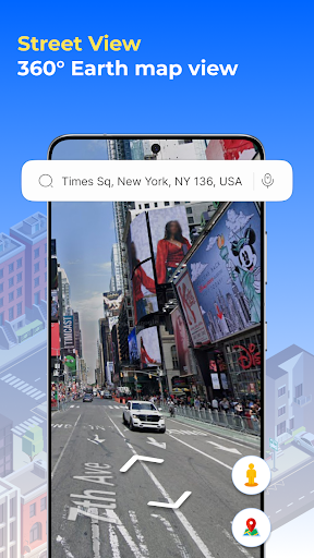
GPS Satellite Earth Map View provides tools for exploring global maps and navigating to specific destinations. Users can view satellite maps and Earth maps to explore different countries and nearby places. The app supports GPS navigation to find the fastest routes, offers turn-by-turn directions, and helps locate current positions. It also incorporates traffic map data to identify congestion, assisting users in planning routes that aim to save time.
Map Exploration and Views
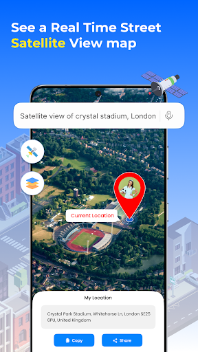
The app allows users to explore world maps, offering both Satellite View and general Earth maps. It provides the capability to view all countries and discover nearby places within any country. This feature supports searching for and finding destinations globally.
Route Navigation and Guidance
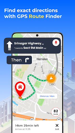
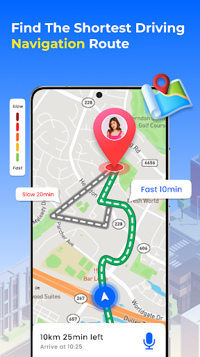
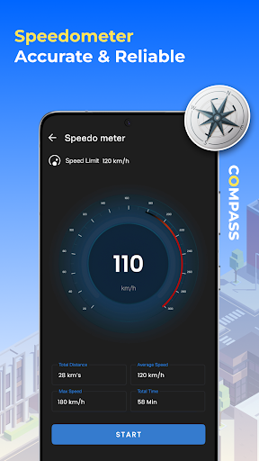
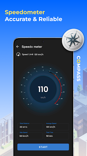
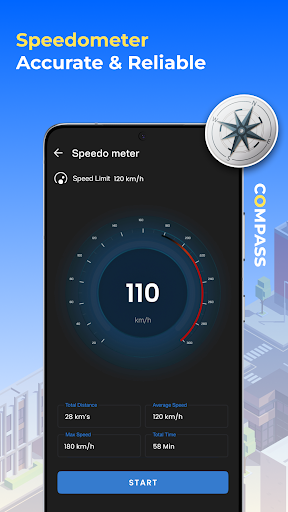
For getting to a destination, GPS Satellite Earth Map View provides GPS navigation to determine the fastest possible routes. It includes turn-by-turn navigation and voice directions to guide users. The app can also accurately find the user’s current GPS location and offers a GPS Compass for precise directional assistance.
Traffic Monitoring
A key aspect of this app is its integration of Traffic Maps. This feature aims to help users save time by indicating traffic jams or clear routes. Users can check traffic updates on maps before starting their journey, which can assist in avoiding congested areas.







Write a review